Google Maps Events
- Last Update
- 26 March 2013
- Regular License
- $11
- Sales
- 41
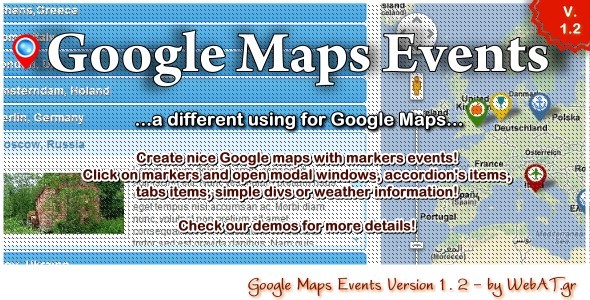
“Google Maps Events” is a nice way for show locations info when click on map’s markers. The script using XML files for show the information for each location. You can show the information in an accordion menu, in tabs menu, as modal window or in a simple div in any area of your pages! You can add the location coordinates in XML file or get the coordinates by address (geocoding)! The script coming with 25 demos and a useful tool for find the coordinates by address!
Features
Easy Installation and Configuration Edit a XML file for set your information and map settings You can using coordinates or address for set the markers on map Show the location’s info in accordion, tabs, modal window or simple div Show Weather Maps with forecast (new in v1.2, read features below) Show polylines, directions or just the markers on map Styling polylines and directions lines (color, opacity, symbols like arrows etc) You can use different markers (icons and dimensions) for each location in the same map Editable tooltip when you put the mouse over a marker Nice scrollbars for tabs and text (when are bigger than div’s height) Complete documentation with step by step instructions You can change the style very easy with simple CSS Free support forever Extra tool for find the coordinates by address
Weather Features (v. 1.2)
Weather icons as markers on the map Current weather and up to 5 days forecast weather Celcius or Fahrenheit units Clouds layer on map Show the weather location’s info in accordion Easy Installation and configuration Requirements for Weather Maps: PHP v5+, allow_fopen_url = ON, simpleXml libraries
Google Maps Limits: Geocoding allow up to 2500 queries per day / per website. Directions allow up to 8 waypoints (cities/locations) per map. Updates:26th March 2012: Added Weather Maps (with accordion) Scrollable accordions when height is over the max-height of accordion area.