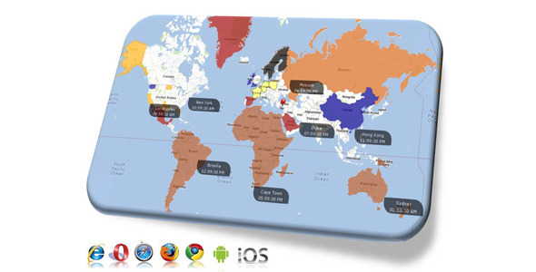
Google Maps with Clickable Countries
- Last Update
- 15 October 2012
- Regular License
- $12
- Extended License
- $60
- Sales
- 78
Say good riddance to Flash Maps, say good bye to SVG maps!! Make way for the Ultimate Flash Map Killer!!! Introducing Google Maps with Clickable Countries, US States and Continents… the 3-in-1 Super Map.
The perfect substitute for flash world maps.
Feature Listing: Works on all major browsers including IE, Opera, Firefox, Chrome Uses Google Maps V3 API Works on mobile devices (farewell Flash maps) Use as a continental map: Supports Asia, Africa, Australia, North America, South America, Europe as regions Use as a World map: Supports 246 countries, territories Use as USA map: Supports all states Custom Region Colors. For each region (Continent, Country, US State), you can set
Fill Color Fill Transparency Border Color Border Transparency Border Size Hover Fill Color Hover Fill Transparency Hover Border Color Hover Border Transparency Hover Border Size
Custom OnClick Functionality. For each region, you can set URL to navigate Pop-up box displaying html formatted data Javascript callback for your custom actions
Tooltips are supported for each region Zoom all the way to street level (Google Maps inbuilt functionality) Landmarks definable via xml with custom icons Timezone support: Extra feature to display current time as a landmark icon.Note: Greater level of detail can be achieved using extensive polygon coordinates. Check out Hong Kong for example. Larger data would translate to heavier file size and relatively longer load times.
NEW FEATURE ADDED onClickHighlightColor:’#fff’, multiSelection:false
Now you can set any region to change its color onClick using the above parameters. Define your color using the onClickHighlightColor parameter. Now if multiSelection is True, the regions will retain their highlight color after being clicked, otherwise if set to False the region will revert back to its base color once another region is clicked. Again this is just a small example of how the map can be used to achieve a variety of requirements.
